Topographic Survey
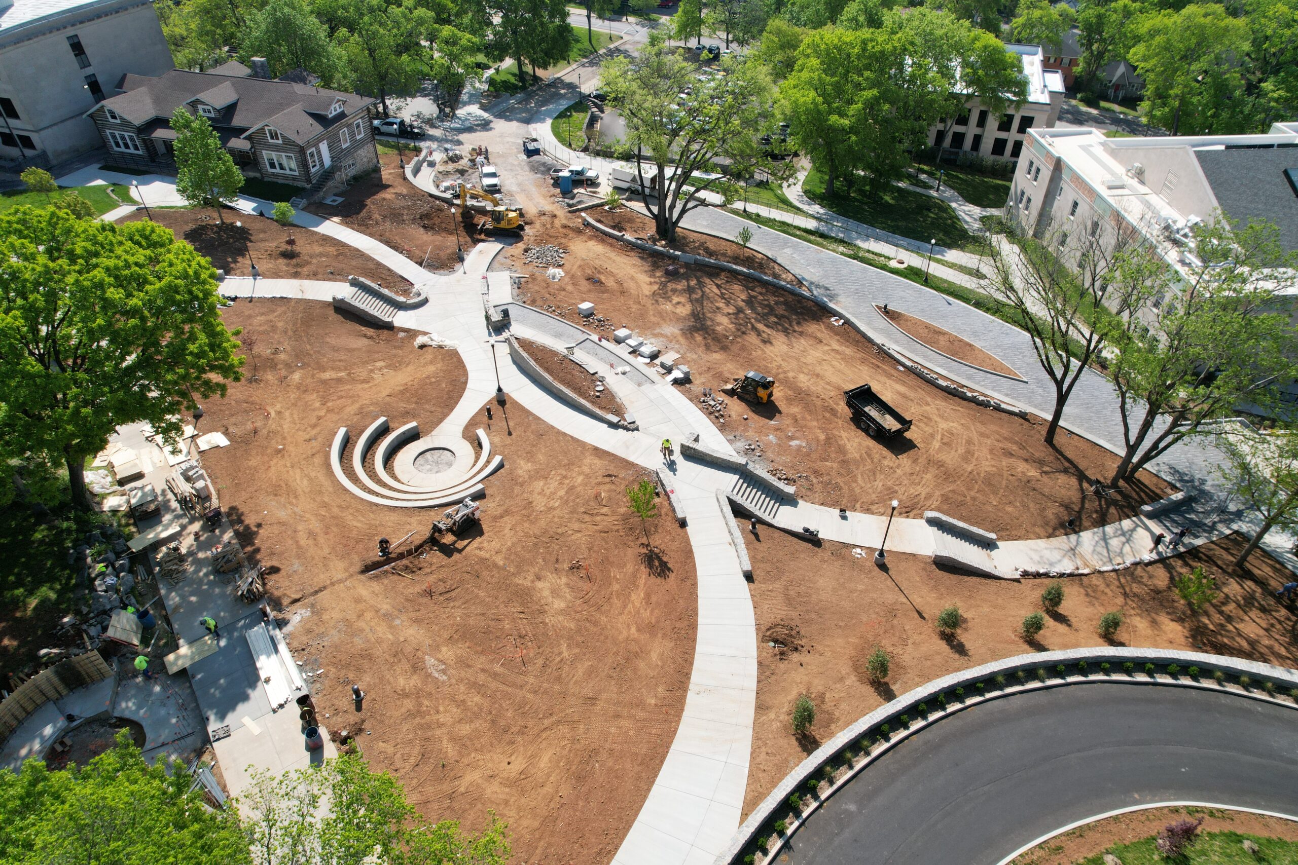
Topographic surveys allow two-dimensional drawings to depict three-dimensional spaces. These surveys are most commonly used in the planning stages of projects to help design the layout and location of buildings, roads, utility lines and landscaping elements. Any project with critical elevation changes requires, and benefits from, an accurate topographic survey.
The experienced team of professionals locate natural and man-made features that help define the three-dimensional shape, configuration and relief of a project site.
Cannon & Cannon’s team seeks identifying markers that help note drainage, anticipate potential difficulties, and offer viable solutions. In addition, they are responsible for relaying the shape of the land as well as detailing the infrastructure beneath it. Topographic surveys incorporate data collected by equipment with the intuition and knowledge of seasoned surveyors. CCI uses equipment on the ground and often adds custom aerial mapping to capture as much data as possible.


